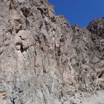
6 Dry Waterfall Canyon Site
Dry Waterfall Canyon site
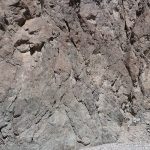
Geotagging without tie points: For this photo suite because of the large scale of the outcrop a scale was not placed in the images and instead the images were geotagged with GPS values. The model that resulted using that geotagging was clearly not oriented properly, although to the eye it did not appear significantly internally distorted, and in comparing with Google Earth imagery appears to be scaled properly. The model can be used for feature identification and for qualitative interpretation. With some additional effort it may be possible to correct the model.
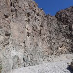
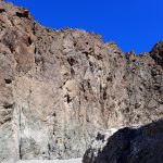
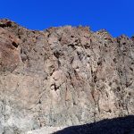
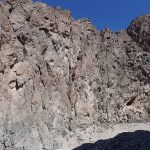
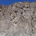
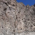
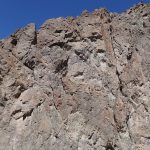
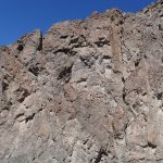
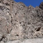
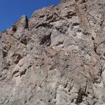
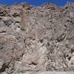
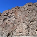
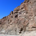
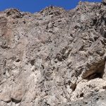
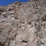
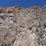
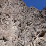
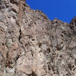
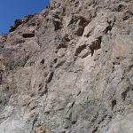
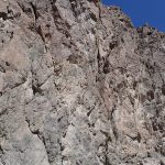
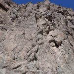
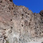
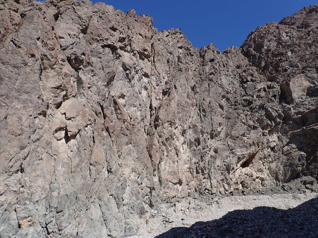
Geologic context: This cliff side is south of Mormon Point and part of an unnamed canyon mouth. The western border fault of the Black Mountains is perhaps ~50 meters to the west. There is geologic evidence that suggests the Mormon Point turtleback detachment projects within 10s of meters of the top of the cliffs seen here. Lithologies are hard to examine because of the prevalence of iron oxide and chlorite coated fracture surfaces, many of which display visible striae in the resulting model. Most of the host rock is Willow Creek Plutonic rocks and hypabyssal intrusives, but with screens of Precambrian gneisses. The extensive brittle deformation in these footwall rocks is of interest.
Suite of photos with which to build the model: